Research
Imaging Spectroscopy & Landscape Processes
VSWIR Imaging spectroscopy measures reflected light in hundreds of contiguous wavelengths between roughly 380 and 2500 nanometers. Contained within that signal is information about the chemical and structural properties of leaves, soils, water, and minerals at the Earth's surface, and gases in the Earth's atmosphere.
Translating those measurements into ecological and geochemical understanding requires three things done in concert: instruments and missions capable of making the measurement, field campaigns sufficient to calibrate and validate it, and well-posed process-level questions to ask of the result. My work spans all three, through mission science and applications at the Jet Propulsion Laboratory, campaign design and leadership in the field, and biogeochemical research linking landscape evolution to ecosystem organization.
The databases, tutorials, and open data products that support this work are described on the community page.
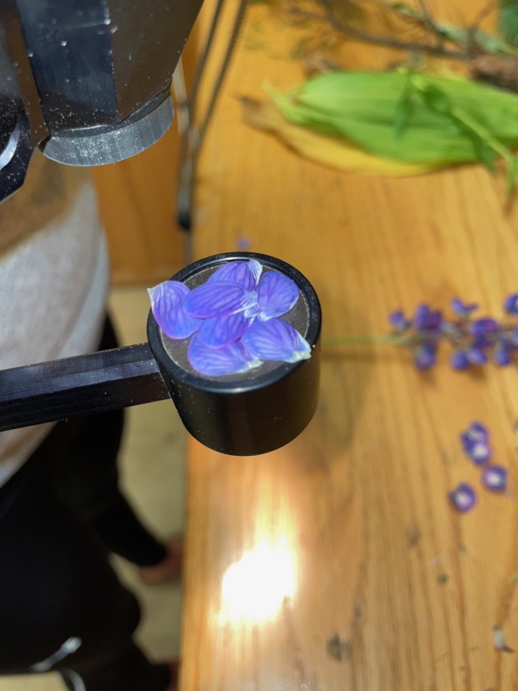
Missions & instruments
Mission Science & Applications
My mission work has two strands that feed one another. The science side is concerned with what a future instrument needs to measure, at what accuracy, and how often: defining measurement requirements, developing and evaluating approaches for retrieving vegetation properties from spectra, and designing campaigns that test those questions against real data. The applications side connects measurements developed for one scientific purpose with the wider set of users who can benefit from them, which means identifying those users, understanding the decisions they need to make, developing the data products and training materials that support them, and carrying what we learn back into the design of the next instrument.
EMIT
Mission Applications Lead, 2022–present. DART Integrator, 2026–present.
The Earth Surface Mineral Dust Source Investigation is an imaging spectrometer aboard the International Space Station, designed to map the mineral composition of the planet's dust-emitting regions. Its data have supported a considerably wider range of applications, including attribution of individual methane and carbon dioxide emission sources, worldwide detection of plastics, and identification of acid mine drainage indicator minerals. I lead the applications program, organize the tutorial and webinar series, and coordinate with the Land Processes DAAC on data access.
EAGLE-VSWIR
Mission Applications Lead, 2026–present. Previously VSWIR Terrestrial Vegetation Lead for SBG, 2024–2026.
The EAGLE program was announced in 2026 and builds on the legacy of the HyspIRI and Surface Biology and Geology initiatives. EAGLE-VSWIR is the visible to shortwave infrared mission within the program, and is targeted for launch in 2028. As VSWIR Terrestrial Vegetation Lead for SBG I worked on the measurement requirements and trait retrieval approaches for terrestrial vegetation, and I now lead the applications element, drawing on what we have learned from EMIT, SHIFT, and the SBG science definition work about how these data are used and what users need from them.
Campaigns
Airborne & Field Campaigns
Airborne and orbital spectroscopy depends on what we know about conditions on the ground. Designing campaigns that collect the appropriate samples, in the appropriate locations, at the appropriate time relative to the overflight, is a research problem in its own right, and one I have worked on throughout my career.
PANGEA: Pan-tropical Investigation of Biogeochemistry and Ecological Adaptation
Pan-tropical, with an initial focus on Central Africa.
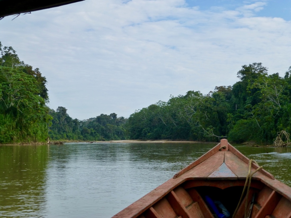
PANGEA is a proposed NASA Terrestrial Ecology field and airborne campaign addressing how climate change and land-use change are affecting the vulnerability and resilience of tropical forests. Tropical forests are not a monolith: they vary enormously in species diversity, climate, soils, and human impact, and they will not respond uniformly to those pressures. The campaign is designed to link ground-based measurements with NASA airborne and satellite observations and modeling over a six to nine year period, in the tradition of earlier Terrestrial Ecology campaigns such as BOREAS, LBA, and ABoVE.
During the 2024 scoping phase I co-led the Feasibility Working Group. The scoping effort engaged more than 800 people from over 300 organizations in 42 countries, and produced a white paper submitted to the NASA Terrestrial Ecology Program.
NASA has since selected PANGEA to move forward and asked the team to develop a Concise Experiment Plan. I am serving as Deputy Lead of the Science Definition Team, which is working with the PANGEA Steering Committee through 2026 and 2027 to refine the scope, assess feasibility, and align the NASA-supported components with anticipated budgets.
SHIFT: SBG High Frequency Timeseries
Santa Barbara County, California. February–May and September 2022.
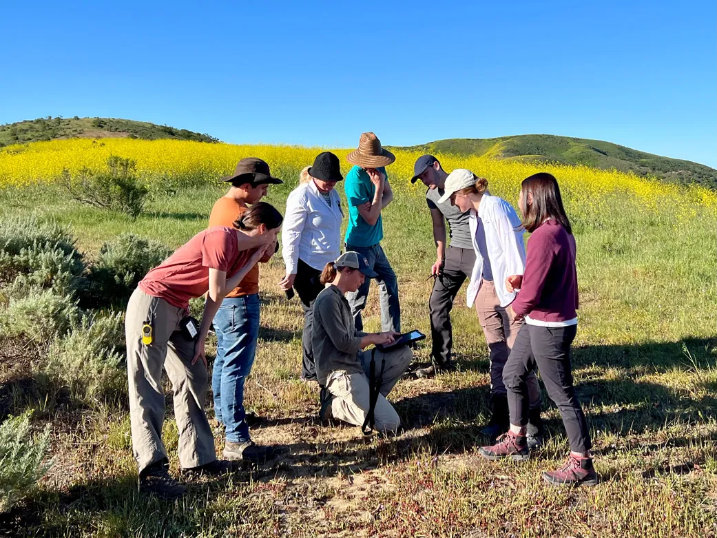
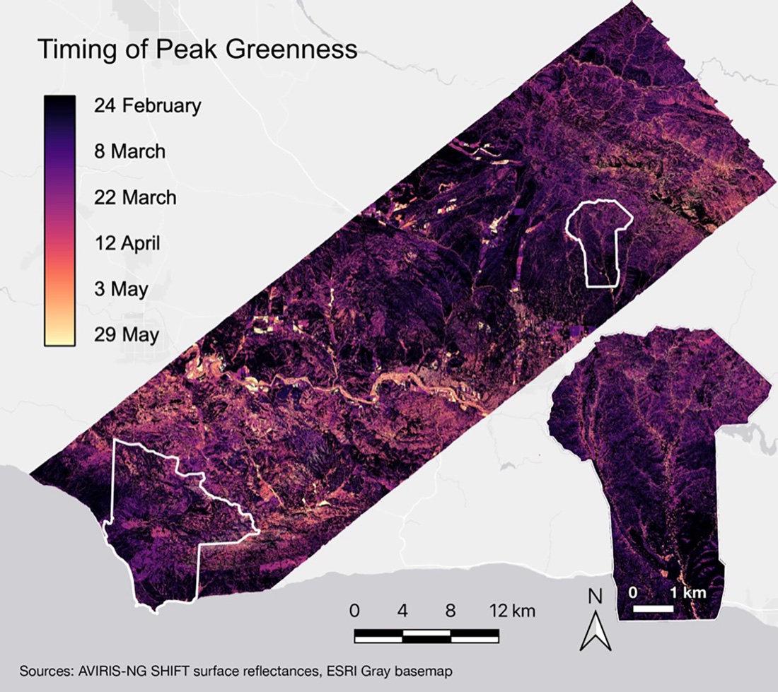
The SHIFT campaign conducted fourteen consecutive weeks of AVIRIS-NG flights over the Dangermond Preserve and Sedgwick Reserve, each coaligned with field sampling of vegetation traits and diversity. I led the terrestrial field team. The campaign was designed to address a question that single-date imagery cannot: how much of the ecological information contained in a spectrum changes over the course of a season, and what the answer implies for the revisit interval of a future mission.
The resulting dataset is among the most extensive time series of paired spectroscopy and plant trait measurements available, and is published through the ORNL DAAC alongside a special collection in Ecosphere.
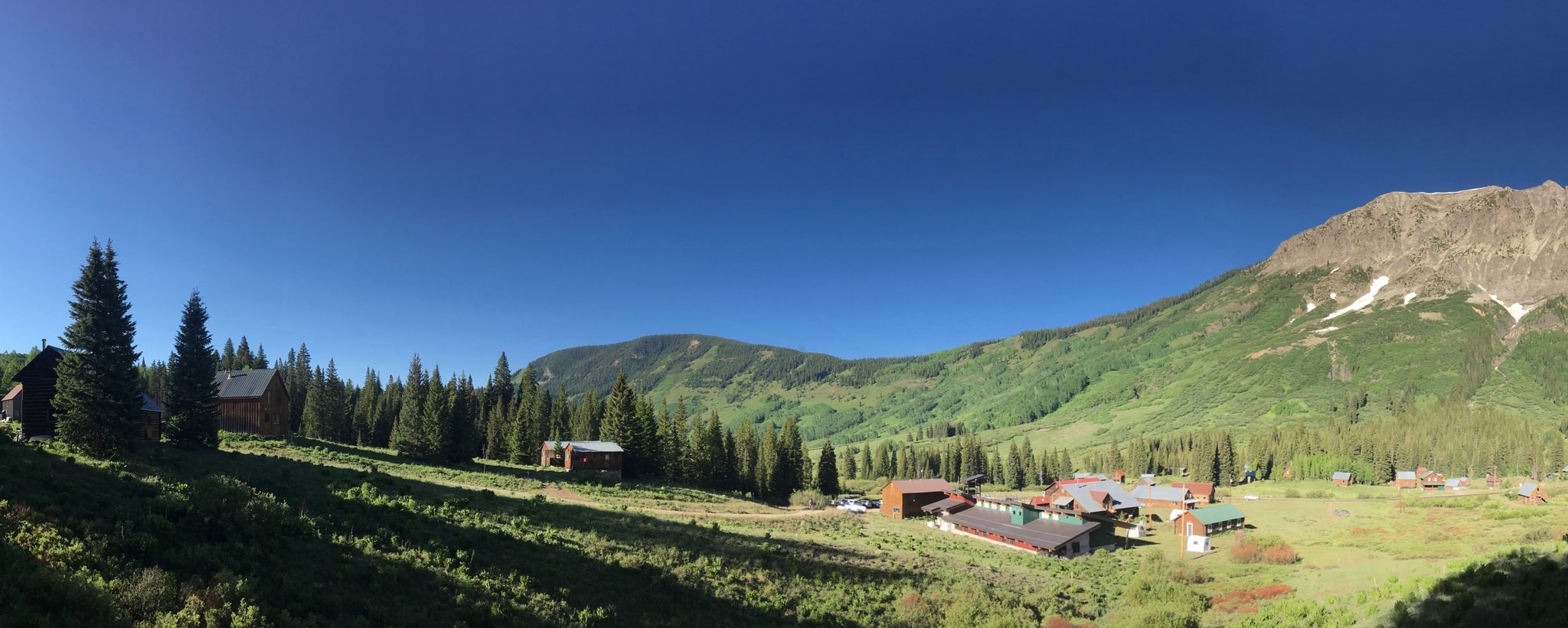
CHESS: Colorado Headwaters Ecological Spectroscopy Study
Rocky Mountain Biological Laboratory, Gothic, Colorado. June–July 2025.
CHESS returned airborne and field measurements to the upper East River watershed seven years after the first taskable NEON AOP survey of the same catchments. I served on the planning committee and supported JPL paricipation in vegetation trait collection to address gaps in our current datasets, ISOFIT atmospheric correction processing, and model development to unify the 2018 and 2025 datasets into a comparable record.
Having two surveys of the same watershed separated by seven years allows us to examine not only the spatial distribution of ecosystem properties, but the ways in which those distributions change through time.
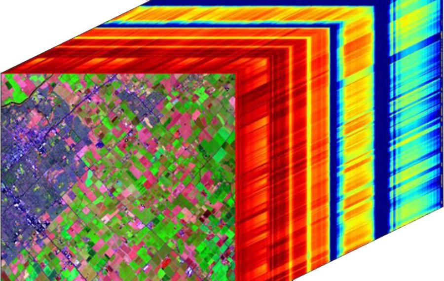
AVIRIS4Acres-NY
Finger Lakes region, New York. July–August 2025.
Co-led with Katie Gold of Cornell AgriTech through the NASA Acres consortium, this campaign flew AVIRIS-3 at 0.5 to 1.25 m resolution over Cornell and USDA-ARS research farms and over commercial grape, apple, and onion production. The work is aimed at early detection of crop disease and at understanding how disease affects grapevine physiology in ways that can be detected spectrally.
I coordinated the airborne survey work and supported the collection of crop trait data for the VSWIR-PLANTS database, which in turn supports foliar trait mapping across campaigns.
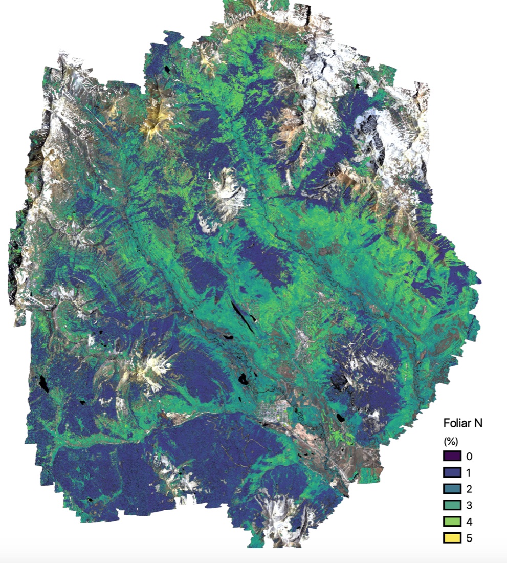
The First NEON AOP Assignable Asset Survey
Upper East River watershed, Colorado. June–October 2018.
In June 2018 the National Ecological Observatory Network's Airborne Observation Platform conducted its first taskable survey, covering four watersheds in the Upper Gunnison Basin, including the East River watershed, home to the Rocky Mountain Biological Laboratory. I led the coordinated ground truth campaign, which sampled foliar chemistry, leaf mass per area, leaf water content, soil bulk density and texture, and species cover at hundreds of locations, timed in relation to the overflights.
The methodologies we developed for planning and executing integrated airborne and field campaigns were published in Methods in Ecology and Evolution. This was an excellent collaboration across many institutions, including LBNL's Watershed Function SFA, and all data and codes are published as well.
Earlier field campaigns
- Rocky Mountain Biological Laboratory, Colorado (2017, 2019). Foliar, vegetation, biomass, and soil sampling, and crown delineation ground truth for aspen ploidy mapping in collaboration with Benjamin Blonder.
- Kosñipata Valley, Peru (2017). Soil sampling and GPS data collection along an elevation gradient from the Amazon basin to Andean treeline, complementing Carnegie Airborne Observatory imaging spectroscopy and lidar data.
- Danum Valley, Danau Girang, Sepilok; Sabah, Malaysia (2016). Tree crown geolocation and foliar sampling in support of state-wide assessment of canopy characteristics.
- Mt. Kinabalu Park, Sabah, Malaysia (2016). Soil and foliar sampling and tree crown geolocation across a substrate and elevation matrix.
- Los Amigos Biological Station, Madre de Dios, Peru (2013, 2014). Soil sampling, foliar sampling, and GPS data collection in support of landscape scale biogeochemical assessment.
- Gabilan Mesa, California (2015). Soil sampling and geomorphic assessment.
- Tarapoto, Peru (2012). On-board data collection, progress tracking, and post-processing for the Carnegie Airborne Observatory northern Peru campaign.
- Vientiane, Laos (2007). Market and household surveys in support of undergraduate honors thesis research.
Landscape biogeochemistry
Biogeochemical Gradients & Ecosystem Organization
Underlying my mission work is a set of questions about how landscapes come to have the chemical distributions that they do, and how vegetation reflects those distributions. These questions have been the through line of my research from my dissertation onward.
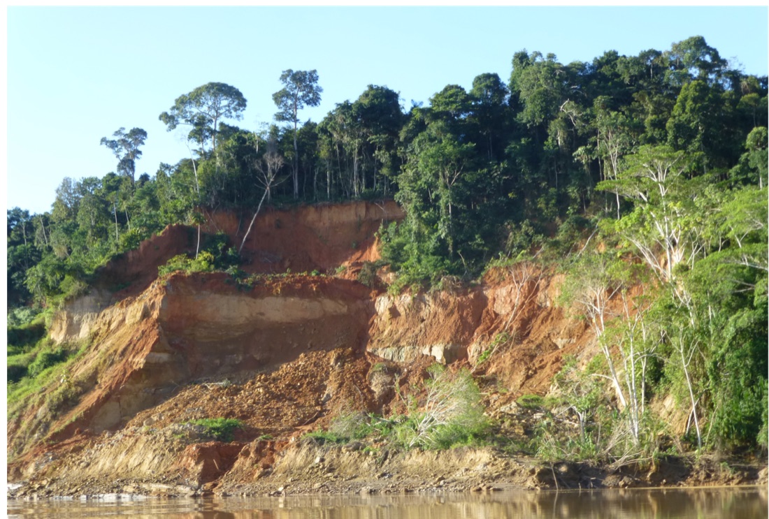
Nutrient Cycling & Rejuvenation in Amazonian Terra Firme Forests
My dissertation work focused on understanding the role that hillslope processes play in determining the distributions of nutrients in soils and the subsequent organization of forest canopy characteristics. Terra firme forests in the southwestern Peruvian Amazon exist on terrace formations that were deposited by rivers flowing from the nearby Andes Mountains. Over time, the soils in these forests have experienced extensive leaching due to rainfall that exceeds 2.5 meters annually, resulting in depletion of essential rock derived nutrients such as phosphorus and calcium. But the landscape does not sit still. Streams cut down through the terraces, removing nutrient poor surface soils and exposing sediments that retain higher nutrient concentrations.
This work demonstrated that erosional rejuvenation leaves a detectable signature in soil chemistry along hillslopes, and that this signature is expressed in the chemistry of the forest canopy at a scale observable with airborne imaging spectroscopy.
Soil nutrient distributions · Organismic-scale trait mapping · Landscape evolution & canopy chemistry
Transient Landscape Evolution on Mt. Kinabalu, Borneo
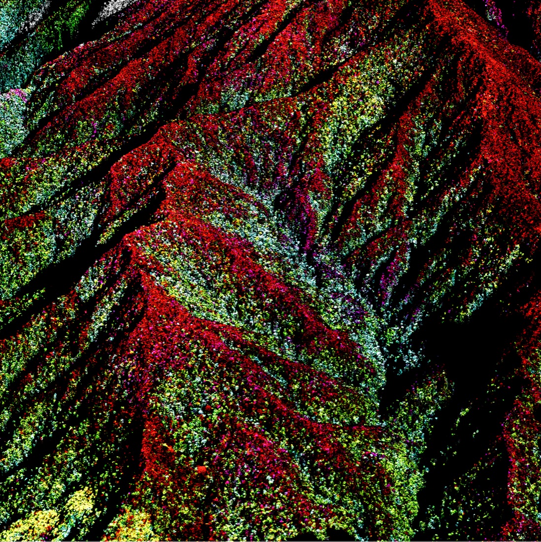
Mt. Kinabalu provides an unusual setting in which to examine these questions. Forests span from 700 m to treeline above 3000 m, several distinct rock types occur along that elevation gradient, and the landscape is actively responding to changes in erosion pressure. Working with imaging spectroscopy data from Greg Asner's Global Airborne Observatory and the geomorphic modeling framework in LSD TopoTools, I examined how the transient geomorphic response of watersheds moderates the relationship between topography and canopy foliar traits. Elevation and rock type both exert control on foliar traits, but the strength of that control depends on where a catchment sits in its own adjustment to changing erosion rates.
This work was facilitated through a collaboration between the Global Airborne Observatory team and the government of the State of Sabah, Malaysia. I also organized and conducted foliar sampling campaigns across the state in support of canopy trait mapping from the 2016 airborne surveys.
Geomorphic transience paper · Foliar trait retrieval approach
Aboveground-Belowground Interactions in the Upper East River
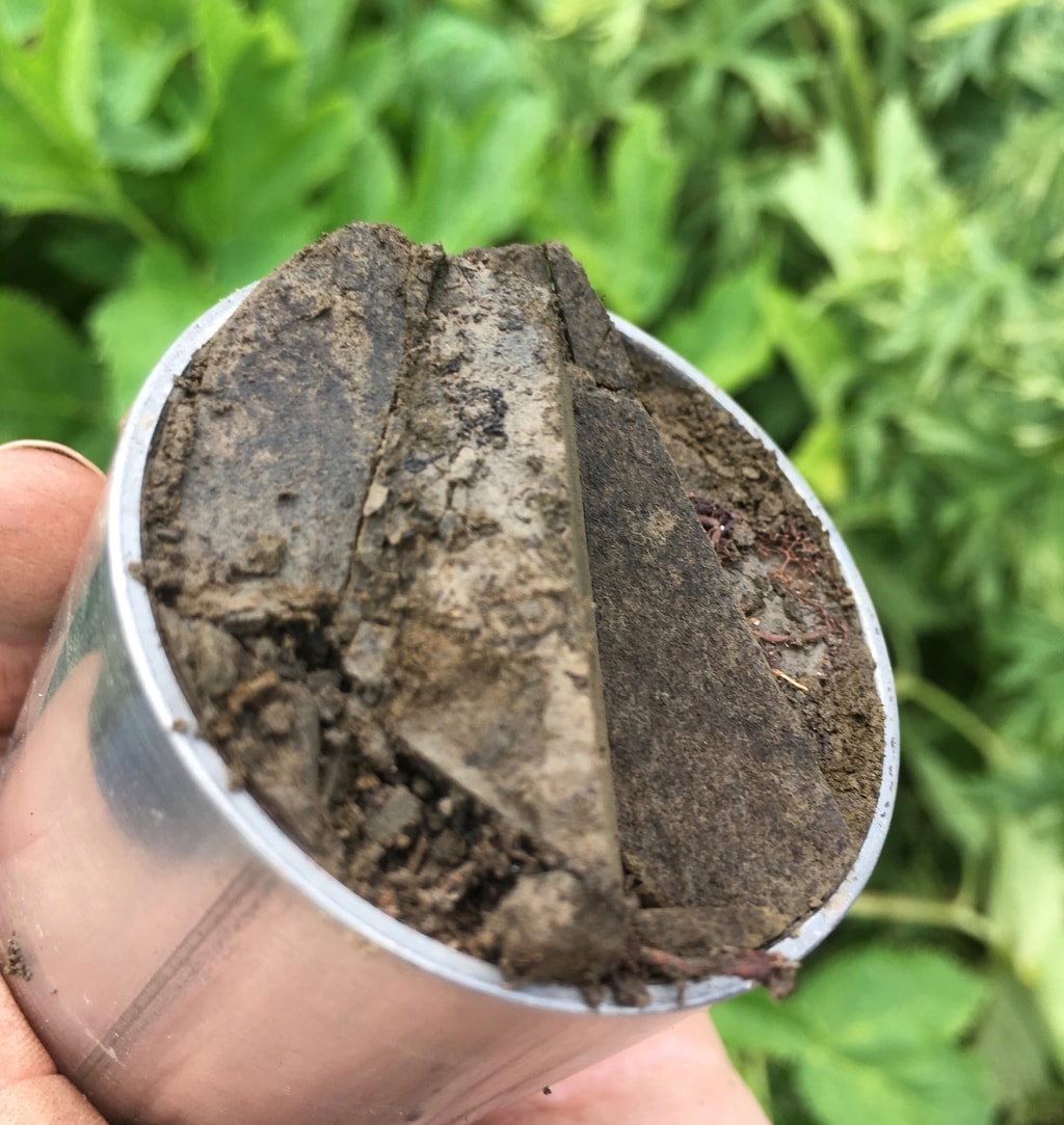
The subsurface is among the most difficult components of the critical zone to observe and the most costly to sample directly. Because vegetation integrates conditions in the soil beneath it, and because vegetation can be characterized remotely across large areas, remotely sensed canopy properties offer a potential means of scaling subsurface properties.
My postdoctoral work examined these aboveground-belowground biogeochemical interactions in the Upper Gunnison Basin in the Colorado Rockies, in collaboration with the Lawrence Berkeley National Lab Watershed Function SFA. I was supported in this work by an NSF Earth Sciences Postdoctoral Fellowship and an NSF Signals in the Soils EAGER grant. The resulting foliar trait maps, soil datasets, and metagenome-assembled genomes are all publicly available.
See also
Community & Open Science
The databases, tutorials, and published data that support this work, along with information on mentorship and two currently open NASA Postdoctoral Program positions, are described on a separate page.