I am an Earth System scientist researching the interconnections among ecosystems, critical zone processes, and the evolution of landscapes. My work utilizes airborne platforms that integrate imaging spectroscopy and lidar sensors, extensive field sampling campaigns, and laboratory analyses. I combine these techniques in order to uncover spatial distributions of ecosystem characteristics and link these patterns to underlying processes.

Remote Sensing

Imaging Spectroscopy &
Light detection & ranging

Field Campaigns

Strategic biogeochemical
sample collection

Laboratory Analysis

Elemental concentrations &
physical characterization

In order to extrapolate ecosystem and biogeochemical properties using remote sensing data, I design and carry out field campaigns in close coordination with overflights. These campaigns are designed to collect samples from hundreds of locations, providing the sample sizes necessary to develop statistical models for extrapolation. These samples are then analyzed for chemical and/or physical characteristics to address particular questions.

Aboveground-Belowground Interactions

The primary focus of my current postdoctoral work is utilizing above-belowground biogeochemical interactions to scale subsurface properties in the Upper Gunnison Basin in the Colorado Rockies. This work is in collaboration with the Lawrence Berkeley National Lab Watershed Function SFA.

Transient Landscape
Evolution

In my collaboration with the Global Airborne Observatory team I investigated the role that transient landscape evolution plays in moderating the relationship between topography and canopy traits on Mt. Kinabalu, Borneo.

Recent Activity

September, 2020

Paper: Integrating airborne remote sensing and field campaigns

Our paper documenting methodologies for planning and executing integrated airborne and field campaigns is now out in Methods in Ecology and Evolution. This was an awesome collaboration across many institutions, including LBNL's Watershed Function SFA, and documents the first NEON AOP Assignable Asset collection. All data and codes are published as well! Check it out.

October 16, 2019

NEON Science Summit, 2019

The Earth Lab held the first NEON Science Summit at CU Boulder this October. I was honored to be invited to give one of the plenaries for the event. I spoke about utilizing the NEON AOP assignable asset program for exploring landscape biogeochemistry and the way these types of technologies can be a catalyst for large collaborative group science. I'm looking forward to the next one!

August 16, 2018

First NEON AOP Assignable Asset Survey

In June 2018, the National Ecological Observation Network's Airborne Observation Platform (AOP) conducted its first taskable survey over four watersheds in the Upper Gunnison watershed, including the East River watershed, home to the Rocky Mountian Biological Laboratory. This exciting work is part of LBNL's Watershed Function Special Focus Area in collaboration with its university partners. I'm so excited that this amazing resource is now avaliable to the scientific community.

About Me

K. Dana Chadwick

Scientist

Water & Ecosystems Group

NASA Jet Propulsion Laboratory

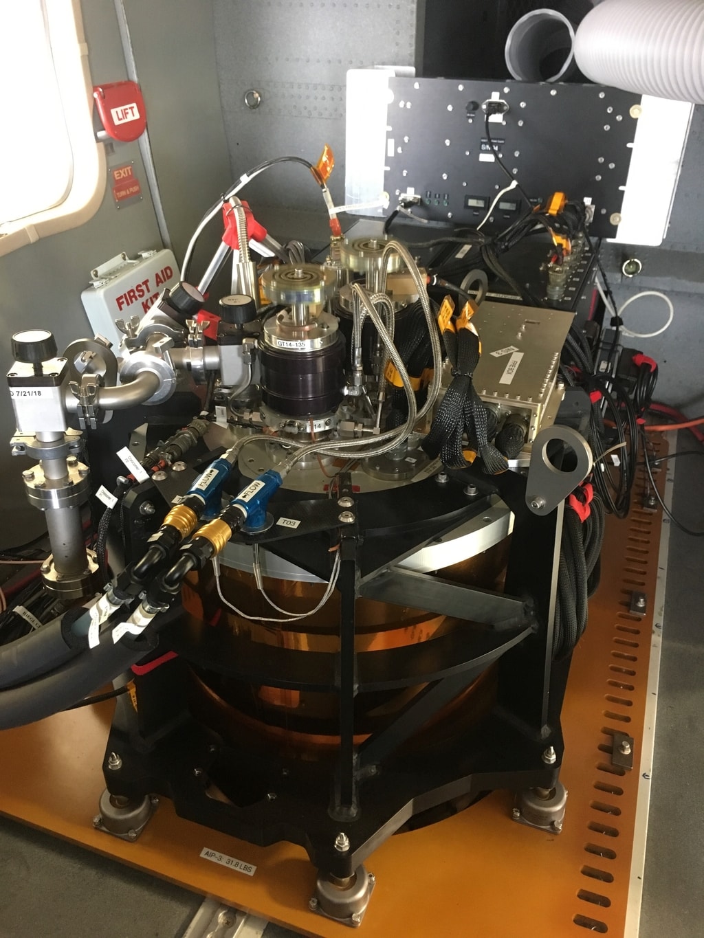
I am a scientist at the Jet Propulsion Laboratory in the Water & Ecosystems group where I work on landscape biogeochemistry, critical zone science, and participate in projects related to the Surface Biology Geology mission and applicatons for the Earth Surface Mineral Dust Source Investigation (EMIT).

I was formerly a research associate at UT Austin, coaffiliated with Caroline Farrior's group in Integrative Biology and Daniella Rempe's Group in the Jackson School. I worked on a cross disciplinary project, Linking Plant Strategies to Complex Subsurface Hydrology to Predict Ecosystem Carbon Storage Across Texas.

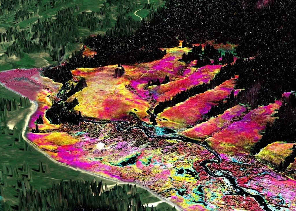
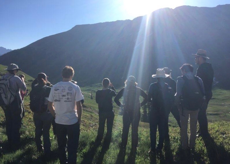
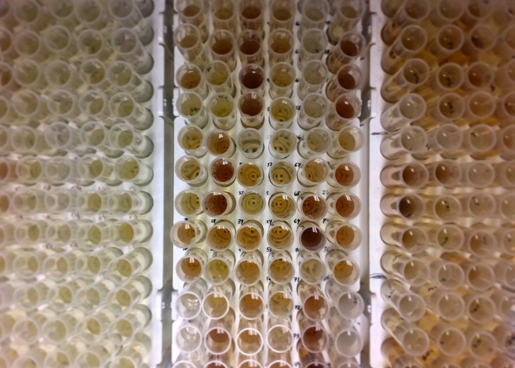
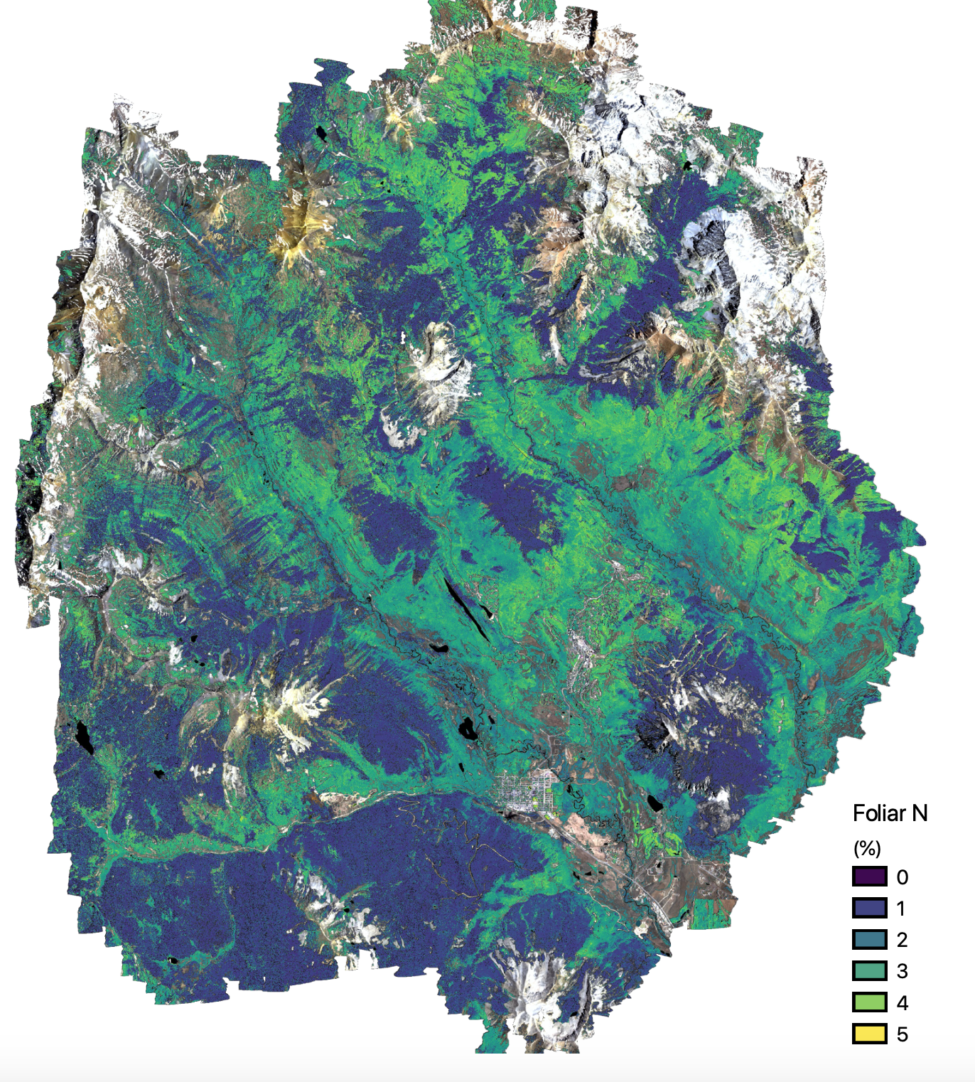
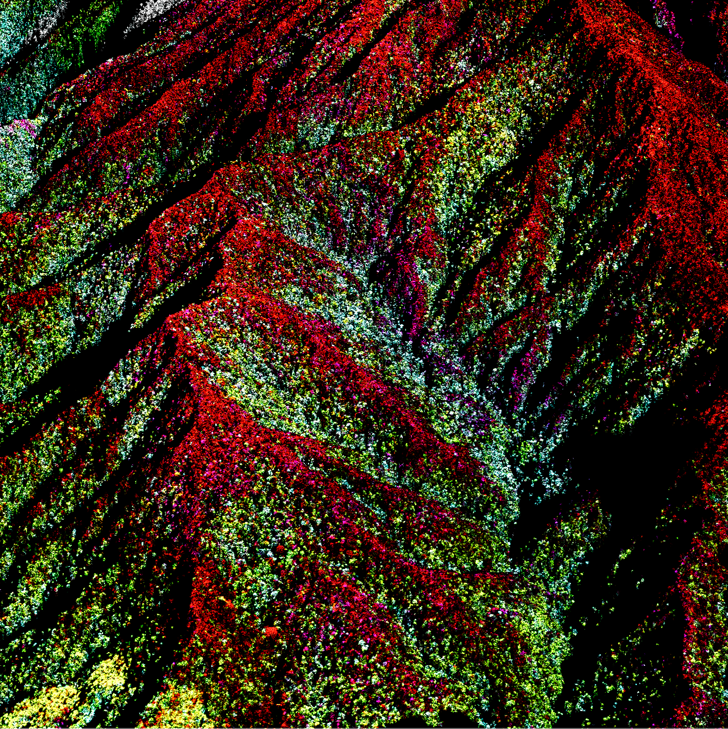
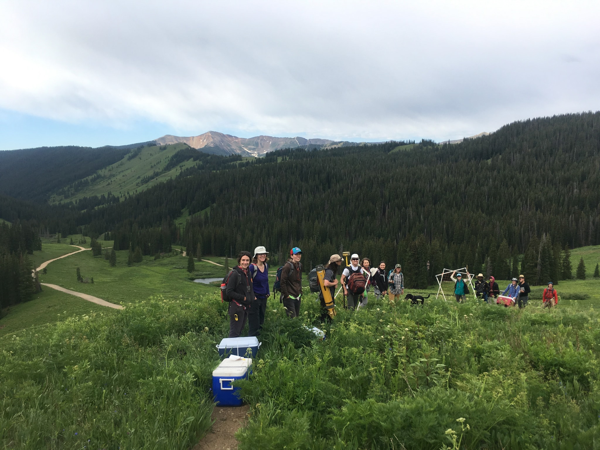
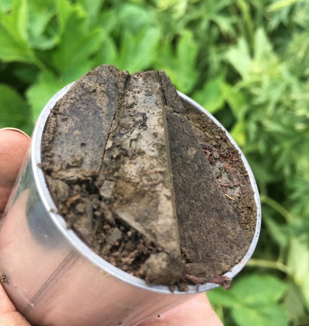
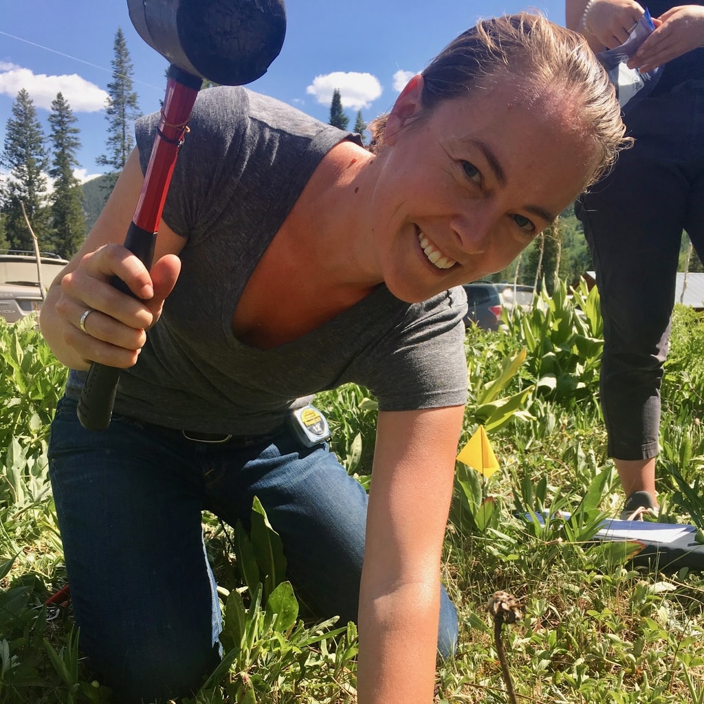
Previously, I was a postdoctoral researcher in Dr. Kate Maher's lab at Stanford, and an affiliate with Dr. Eoin Brodie's group at LBNL. Much of my postdoctoral work was based in the Upper East River Watershed near Crested Butte, Colorado where I focused on utilizing remote sensing paired with intensive field campaigns in order to better understand landscape ecosystem ecology and biogeochemical processes. I believe that by improving our understanding of the interactions between the aboveground and belowground components of these systems we can better understand their functioning. In addition, by developing the ability to link soil and subsurface biogeochemical processes with remotely detectable components of the Earth system, we can develop a window into the subsurface. I was funded for this work through an NSF EAR Postdoctoral Fellowship, and an NSF Signals in the Soils grant. This work remains ongoing!

I conducted my graduate work in the Earth System Science Department at Stanford University, under the advisement of Dr. Greg Asner, now at the Center for Global Discovery and Conservation Science at Arizona State University. During this work I was supported by a NASA Earth and Space Science Fellowship.

I am always eager to talk with people interested in integrating remote sensing technologies with strategic field campaigns to better understand biogeochemical cycling, nutrient dynamics, and ecosystem ecology in a landscape context. If you are interested in my work or have any questions, please get in touch!