Carbon Geographies
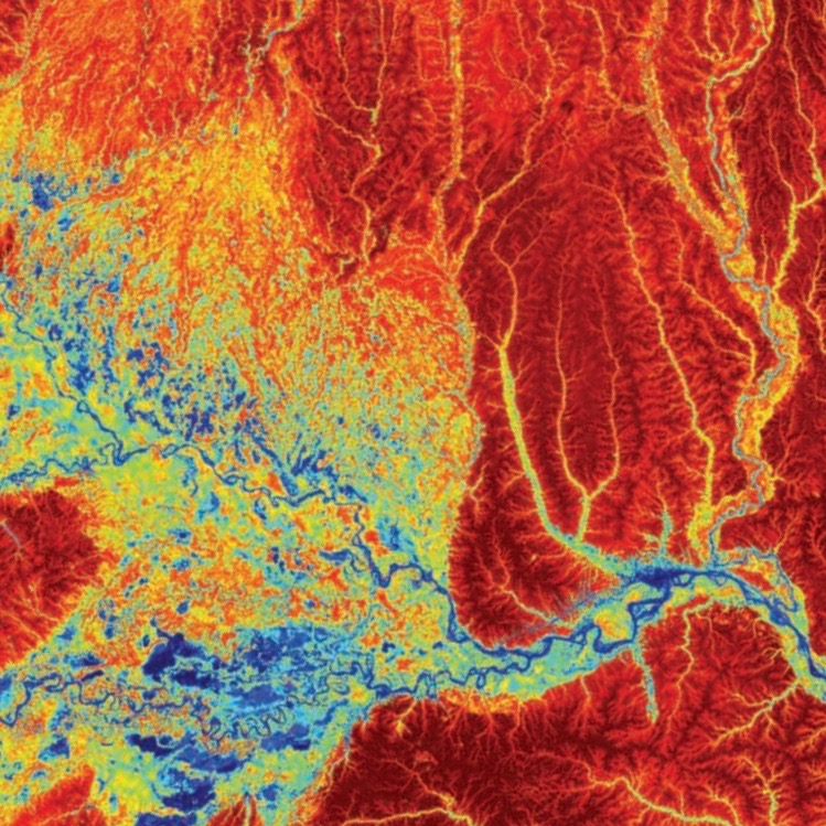
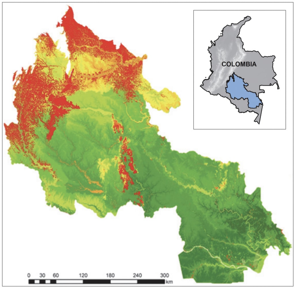
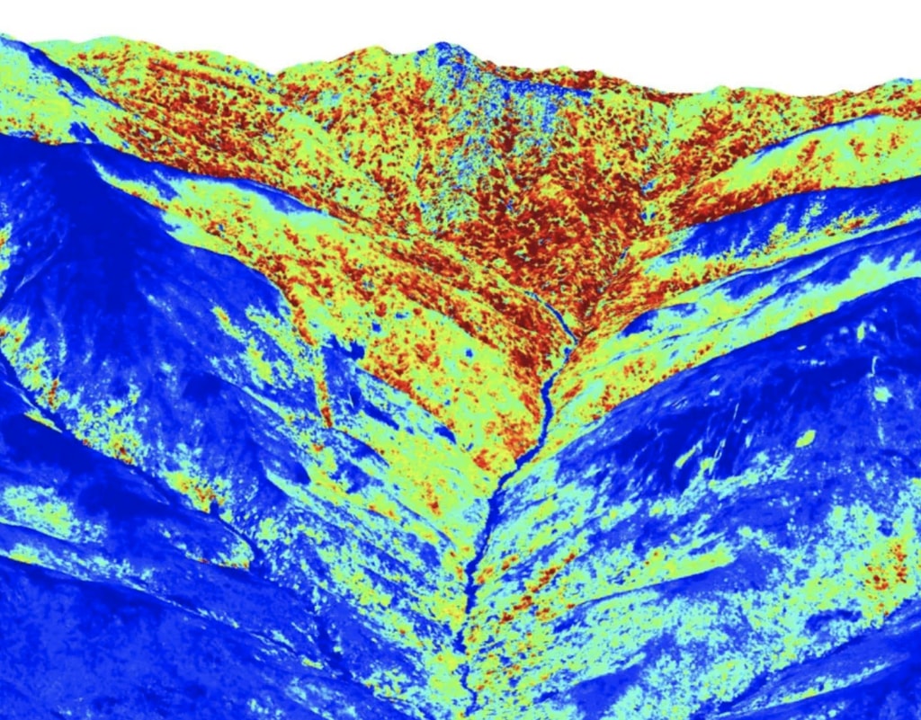
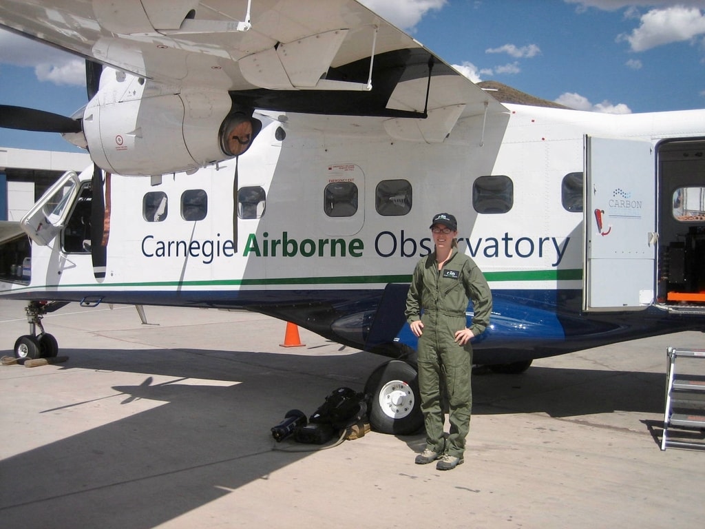
Upon joining Greg Asner's lab at the Carnegie Institution's Department of Global Ecology I had the opportunity to work with the Carnegie Airborne Observatory (now the Global Airborne Observatory) team on a series of projects examining the controls on aboveground carbon distributions in tropical forests. These studies utilized the relationship between LiDAR derived tree height data and carbon inventory plots to estimate carbon distributions within the flight areas. We then used these estimates, and their relationships to satellite-derived elevation and reflectance data, to scale these understandings to a regional level. It was through this work that I became interested in the relationship between topographic gradients and ecosystem properties and wanted to dig deeper to develop an understanding of the biogeochemical and geomorphic processes underlying these relationships.